Region 2 of 6
Leonida Keys
A road laid over the sea
- Islands800+
- Bridges37
- Water in winter74°F
01About the region
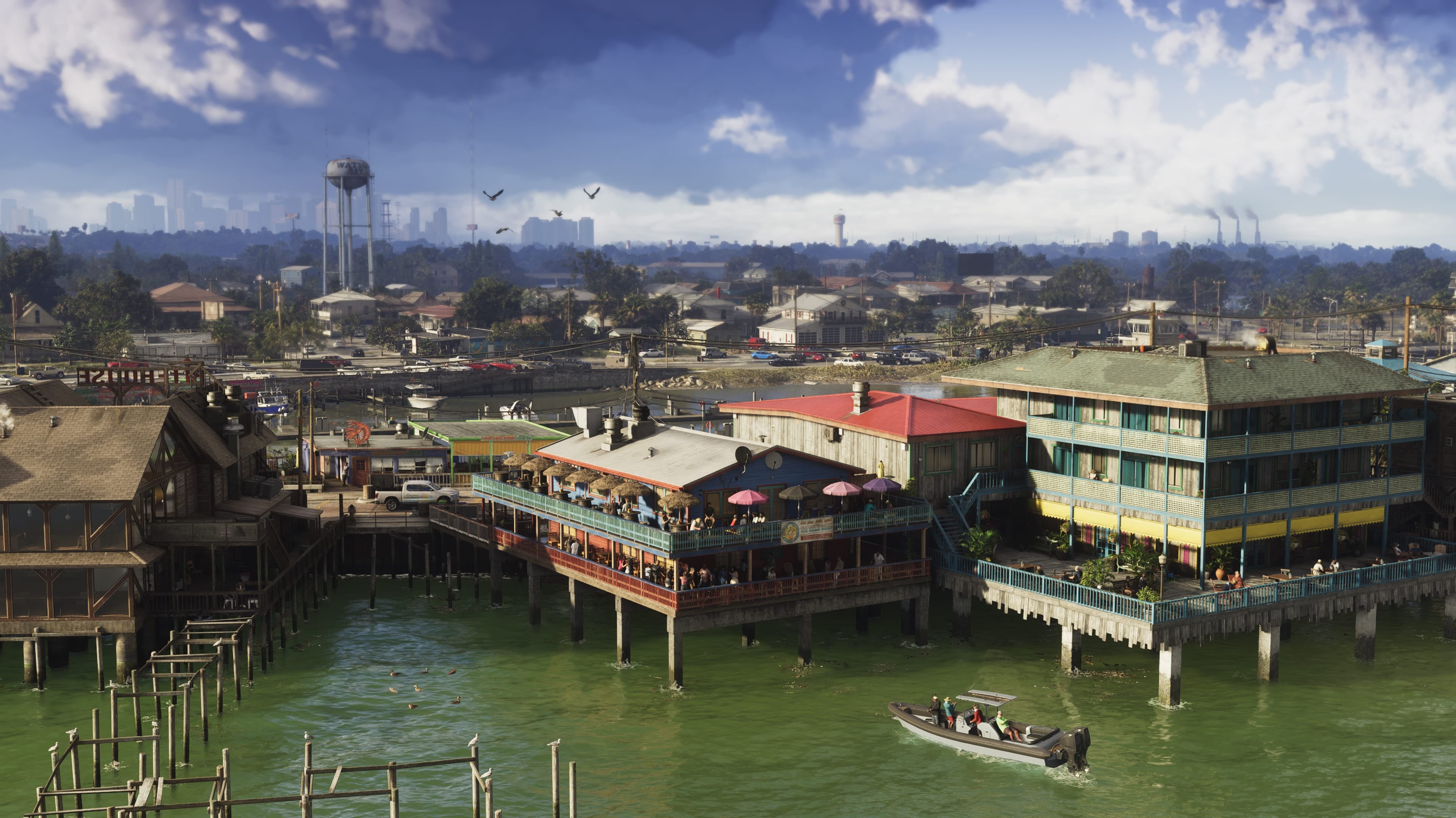
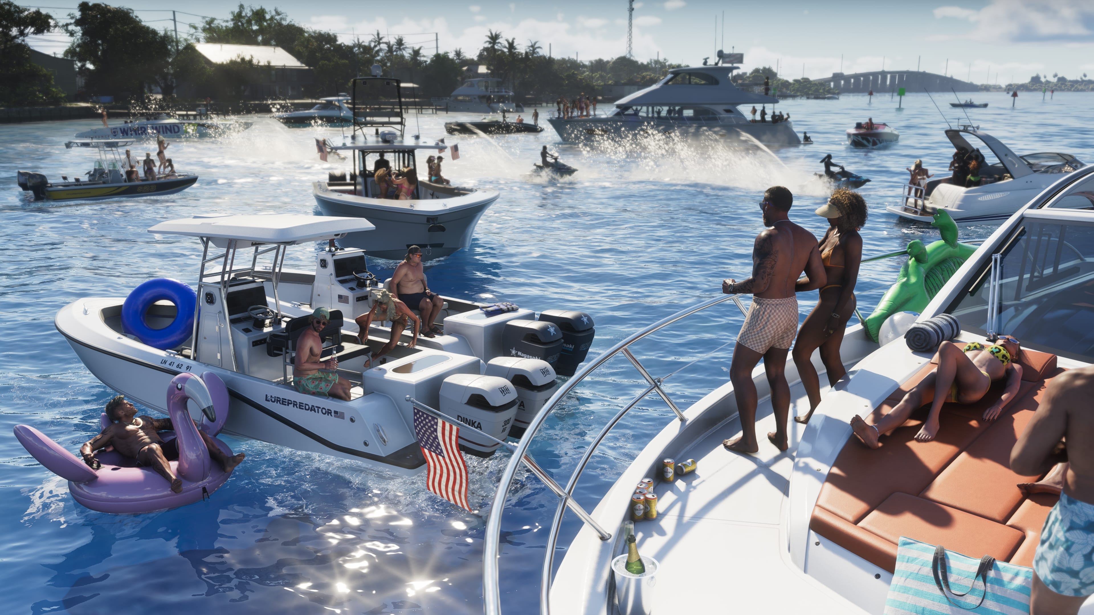
A chain of coral islands joined by thirty-seven bridges and one very long sunset. Life in the Keys is slow on purpose: flip-flops everywhere, beach bars that fill up by noon, protected reefs and open water that rewards a little caution.
Highlights
- The reefThe only living barrier reef in the continental States runs a few miles offshore. Snorkel trips leave from every key.
- Thirty-seven bridgesThe drive from the mainland to the last key takes three hours, most of it over open water. Stop at the old rail bridges on the way.
- Sunset at the pierEvery evening, Key Lento and the other towns gather on their piers to watch the sun drop into the Gulf. Bring a chair, and some patience.
On the map
Drag to move, use the buttons or pinch to zoom. Select a pin for details.
Open the State mapCartography: Yanis & gtadb.org, CC BY 4.0
02In the region
Who can help here.


03Useful services
Before you go.
- Boating permitsRegister a vessel, get your boater education card and apply for marine sanctuary permits.Start online
- Beach conditionsFlags, water quality and rip current risk for every public beach.Start online
- SeasonalHurricane preparednessKnow your evacuation zone, build a family plan and sign up for LeoAlert emergency notifications.Get ready
04Keep exploring